Tyto Innovative solutions for a smarter planet
At Tyto S.r.l. We go beyond software by delivering pioneering solutions with open source technologies. Our core services span across different industries through IoT and GIS solutions. From environmental monitoring to smart infrastructure, our mission is to innovate and deliver excellence. Join us in shaping the future with technology.
Our Partners


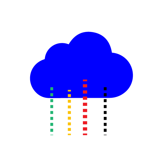
Cloud Computing
Cloud computing offers flexibility, scalability, and power for running programs in production. It provides virtually unlimited resources when needed and frees them when not needed. Scalability ensures excellent performance and cost-effectiveness. Specialized architectures and technologies are required for achieving these results.
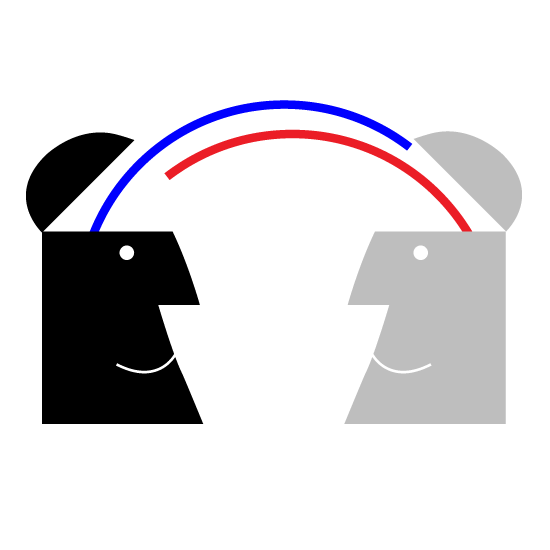
Research and technology Transfer
Tyto actively cooperates with European Research Centers and Universities, working on complex projects in areas like security, reliability, computing power, and more. Working in research means experimenting with innovative solutions and collaborating with international experts.
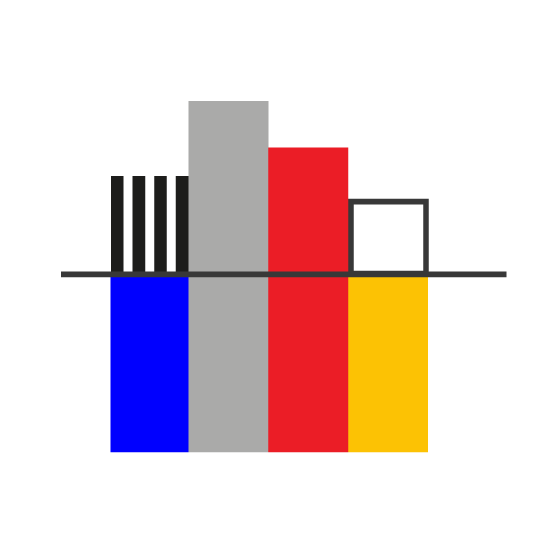
Business Intelligence
Business Intelligence and data analysis are a set of tools and techniques that allow you to extract from a large amount of data, rules for corporate development and decision support. With the increase of information stored on the databases and the increase of heterogeneous sources of data, these techniques have become a strategic tool for process optimization and business development.
IoT
The Internet of Things refers to a set of technologies that allow any type of device to be connected to the Internet. The purpose of this type of solution is essentially to monitor and control and transfer information and then carry out consequent actions. In a city environment, for example, a detector placed in a street can control the street lamps and signal whether the lamp is working, but the same detector could, if adequately equipped, also signal information on the quality of the air or the presence of people.
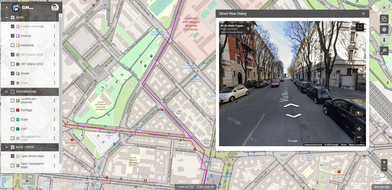
GIS and IoT
The majority of information coming from IoT devices has a precise meaning if and only if it is associated with two pieces of information: the place and the time of detection. The most convenient way of reading IoT data is therefore linked to the GIS world, i.e. an interface which, through the display of a map, gives the possibility to query the stations containing the IoT sensors directly given that they are geographically located in a precise point.
Our Customers