

Legend management
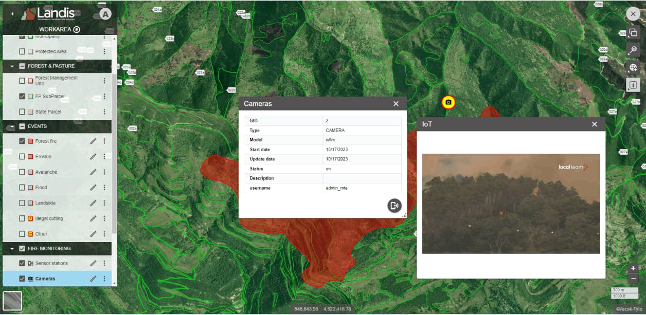
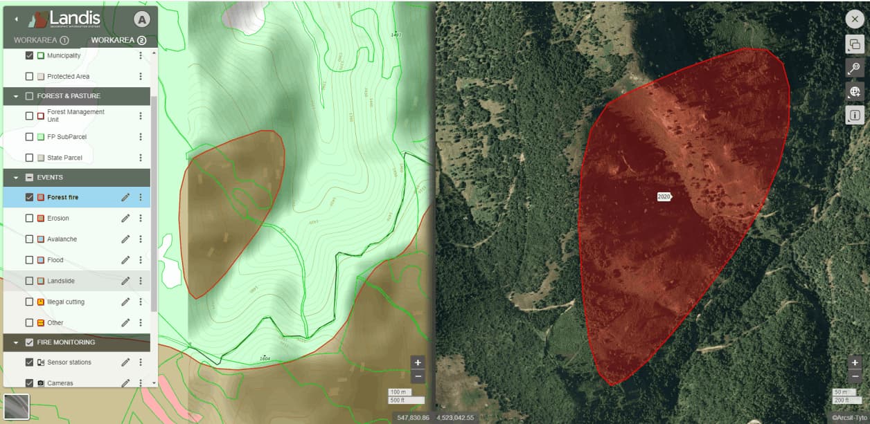
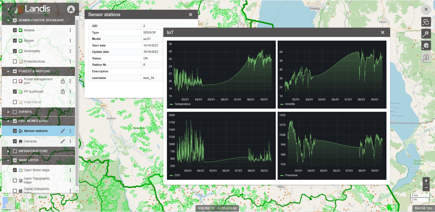
The legend can be displayed or hidden, allowing users to define the contents of the map window. Users can toggle the display of layers and layer groups, manage transparency, and view metadata for each layer. Additionally, they can select the active layer for operations like editing and export layers in various formats
Other Features
Navigation
The cartographic navigation functions are: pan, zoom in, zoom out, maximum extension zoom, zoom in, zoom out, zoom box which can be activated by acting on the appropriate controls provided by the interface or directly with the mouse.
Consultation of attributes and documents
The function allows you to select a cartographic element or elements of interest and view the associated information attributes in system or customized forms. Documents and images available in formats are also managed in the consultation phase.
Measurement of distances, areas, and coordinates
Interactively, by acting with the mouse, the user can request the coordinates of points, the length of linear elements and the surface of areal elements, dynamically acquiring points of interest.
Spatial Queries
Landis includes a search engine for cartographic elements based on alphanumeric data. Searches can combine multiple fields and criteria with AND/OR. Results are listed for selection and highlighted in the map window. Queries are saved in a legend section for future use.
The printing module allows you to select a geographical area, the topics of interest and to parameterize the print format for the production of print spooling on a printer or PDF file.
Element Editing
Landis offers an editing environment for geographic elements. Admins enable feature editing, highlighted in the legend. Users start by selecting a feature and using the edit button. The editing bar adapts to feature type. Multiple users can edit with 'Object Lock' to prevent conflicts. Updates sync across all clients on map refresh.
Route Calculation
Landis has a routing calculation module that allows you to select a starting point, an arrival point and one or more mandatory stopover points. Once the points described above have been identified, Routing calculates the optimal route and lists all the road elements involved.
Management of 3D images
Landis manages oblique images: “multiple high definition shots: nadiral and oblique in the cardinal directions. Nadiral images are equivalent to orthophotos with high geometric resolutions, using oblique images, however, panoramic representations of landscapes or elements of interest can be obtained.
Our Mission
We are committed to providing the best solutions for geographic information management
Efficiency
High performance in information management, independent of the number of thematic levels, the geographical extension and the number of cartographic elements.
Scalability
Modular configuration and customizable features Infrastructure capable of adapting to a growing number of information and system users.
Integrability
Tools for the integration of data and applications both as an extension of WebGIS and with third-party products.
Usability
Ergonomic user interface, customizable and immediately understandable by the user.
